Mount Dadong stands on the border between Taoyuan’s Guishan District and New Taipei’s Shulin District. At 405 meters it is the highest point on the Linkou Plateau ridge and one of Taiwan’s 100 Lesser Peaks. The summit, known as the 405 Highland, has a first-order triangulation marker, a survey reference stone and a viewing platform, with a hydrological monitoring station nearby. On clear days the view takes in the Dahan River, the high-speed rail line, the cities of New Taipei and Taoyuan, and distant Guanyin Mountain, the Xueshan Range and Taipei 101.
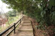
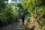
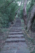
From Yuanguang Bridge in Guishan, follow the Fuyuanshan Trail and Dadongshan Road for about 4.3 kilometers to the summit. A side road leads to century-old Shiyun Chan Temple, with glazed ceramic ornaments, a ceremonial gate and stone steps. Old crape myrtle, camphor and bishopwood trees stand in front. Xukong Chan Temple lies along Datong Road. Another approach of about 3.2 kilometers follows Tukeng Industrial Road past the Jichu Zhongshu Yiguandao center, Qianfo Temple and woodland. The summit also connects to the Datong Mountain Trail and Qinglong Ridge, with a separate option on the Guanggong Ridge Butterfly Trail.
Swallowtails and purple brush-footed butterflies appear in spring and summer, silvergrass flowers in autumn, and maples turn red in winter. More than 30 butterfly species have been recorded along Guanggong Ridge.